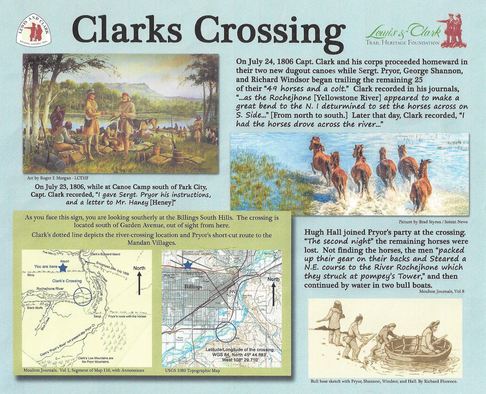
During the return journey of the Lewis and Clark Expedition, Captain Clark (in order to explore the Yellowstone River) separated from Captain Lewis at Travelers Rest on July 3, 1806. Clark’s Corps then experienced another major separation on July 24, 1806 south of Billings, Montana. Captain Clark ordered Sergeant Pryor, George Shannon, Richard Windsor and Hugh Hall to cross the Yellowstone River with the remainder of the Corps’ horses, on a shortcut to the Mandan Villages. The historic location of where they crossed the river is now known as "Clarks Crossing." When Clark arrived on the Yellowstone he had 49 horses and a colt, but Sgt Pryor had only one half of that number when he and his men crossed the Yellowstone. They had previously lost the other half of their horses during the night of July 20th, during their time at canoe camp.
It was the Corps’ plan to bring back with them as many horses as they could to Mandan, to use for trading. The plan for Clark’s Corps to return via the Yellowstone River originated as far back as the Corps’ 1804/1805 winter layover at the Mandan Villages. At that time a Mandan Chief, Chief Sheheke, educated Clark on the geography of the Yellowstone River. He even helped Clark make a map that showed the major tributaries and their locations. A key component of the map was the location of where to cross the horses for that shortcut route with the horses. As drawn on the map, the crossing was immediately downstream of the Bighorn River, where the river makes a large bend to the north. That was just another example of how the Indians assisted the Corps during the Expedition.
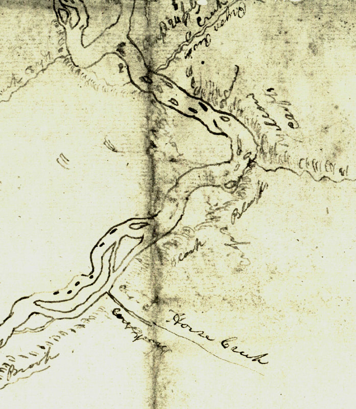
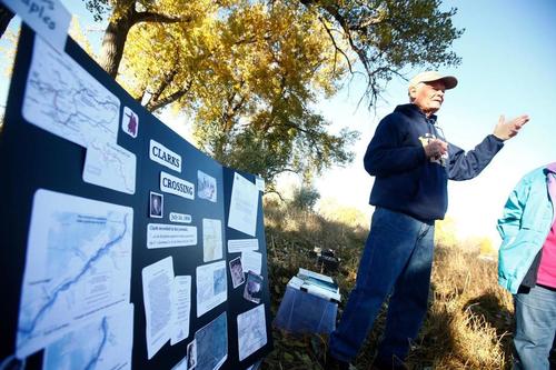
Captain Clark had planned to build canoes when he arrived at the Yellowstone, but did not find timber large enough until he reached Park City, Montana on July 19th. A serious injury, suffered by Private Gibson, on the evening of July 18th, brought on a sense of urgency. They finished the dugouts on July 23rd, and proceeded on the next morning. But, when Clark arrived at the mouth of the Clarks Fork of the Yellowstone River he could see the cliffs SE of Billings and therefore recorded, “I thought it possible this might be the big horn river, and as the Rochejhone [Yellowstone River] appeared to make a great bend to the N. I deturmined to set the horses across on the S. Side… .” (Moulton, Vol 8, p. 217) Clark therefore interpreted the Clarks Fork of the Yellowstone as being the Bighorn River, and the Sacrifice Cliffs near Billings to be the great bend to the north. So, just before Clark arrived at the bend, he recorded,“ I had the horses drove across the river…. .” (Moulton, Vol 8, p. 219) Thus the name Clarks Crossing originated. Clark later discovered his misinterpretation of the location of the Bighorn River, and the Clarks Fork of the Yellowstone became a new name in history. The name, Clarks Crossing, was officially recognized on July 10, 2014 by the U.S. Board on Geographic Names, and can be seen at http://geonames.usgs.gov.
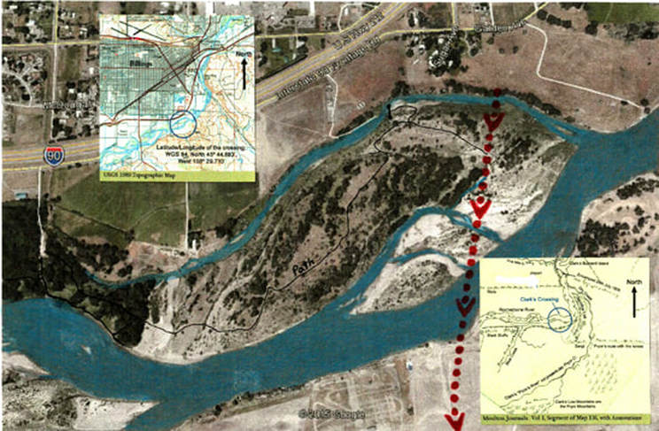
Below: Projections of where the horses crossed.
Below: Projections of where the horses crossed.
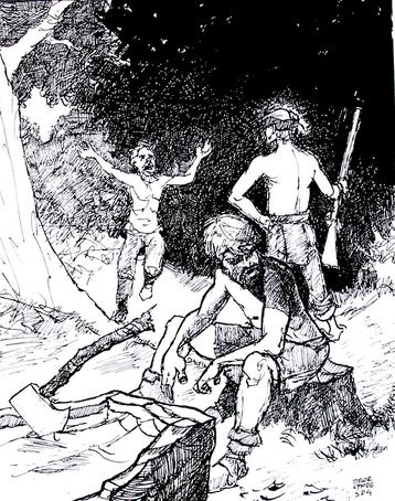
Regardless, the cross country endeavor was short lived, as Pryor and his Corps lost the remaining horses the next night. They packed up their gear and steered in the direction of the river, made two bull boats out of buffalo hides, and continued their journey down river. It is interesting that the loss of the horses has often been interpreted as a failure of the Expedition. Instead, it may have saved the lives of Pryor and his Corps, as they were headed directly into Sioux country with a herd of horses and only four soldiers.
Learn more about the Clarks Crossing Site:
Billings Gazette, Sept. 4, 2014
Billings Gazette, July 24, 2015
Discovering Lewis and Clark
Billings Gazette, Sept. 4, 2014
Billings Gazette, July 24, 2015
Discovering Lewis and Clark
